When I realized this was going to be the case, I designed a 600K permanent and submitted it to RUSA. It was actually easy. Living as close as I do to the Natchez Trace, it was simple to design a route that would go from the top of the Trace, down to Tupelo, MS, and then retrace the Trace (sorry ... had to do that) back.
The Memorial Day weekend was perfect for this route. I could have gone down to Georgia to do their 600K, but that would have required a six-hour drive there and another six-hour drive back, and I wanted to spend some of the weekend with my family. Besides, it was not like I needed this 600K to be an official brevet to qualify for something next year -- it was only a test.

It was chilly when I left the Kroger on Hwy 100 just after 6 am Saturday. The sun had been up for almost an hour, but the streets were still mostly quiet.

I saw more bikes in the first few hours on the Trace than cars. There were two fellows that I ran into a couple of times, as they were heading down to Hwy 50 and back, getting ready for the Harpeth River Ride next Saturday. They worked for the same company as RandoGirl, and we chatted a bit.

There are markers every miles on the Trace, and I used these to help tick down the distance. A better indicator, however, was the markers at the few roads that allow access to the Trace. When the number is as big as the one above -- where Hwy 7 hits the Trace -- it is a bit daunting.
The route needed a few extra miles to hit 600 kilometers -- about 380 miles -- so on the way down it veers over to Hohenwald. The wind had been behind me all the way south, but was still a comfortable crosswind as I went further west here. I stopped at Sonic for lunch and to update RandoGirl and the RandoDaughter about my progress.
That's when I noticed that my phone was gone.
I quickly searched my other bags, jacket, and pockets ... but no, my phone was not with me. And, oddly enough, although that should not make me nervous, it did. We've all gotten used to having that electronic lifeline, and I didn't want to be out in the middle of nowhere (even though the cell coverage in nowhere is not very good) without some way of calling for help.
Fortunately, Hohenwald is a pretty big town. I zipped back east about a mile to the Super WalMart and bought the cheapest disposable phone that they had. I was able to buy some minutes, too, and get it activated. It cost me an hour, but RandoGirl was glad when I called her (from a strange phone number) to tell her that I was back on the grid.

I tried to make up the lost time by moving fast on Hwy 20 back to the Trace at Meriwether Lewis park ...

... but the mileage marker still told me that I had a long way to go.

I stopped again about 30 miles down the road at Collinwood, eating convenience-store food and filling my bottles ...

... but put my head down and rode hard again when I saw the mileage sign back at the Trace.

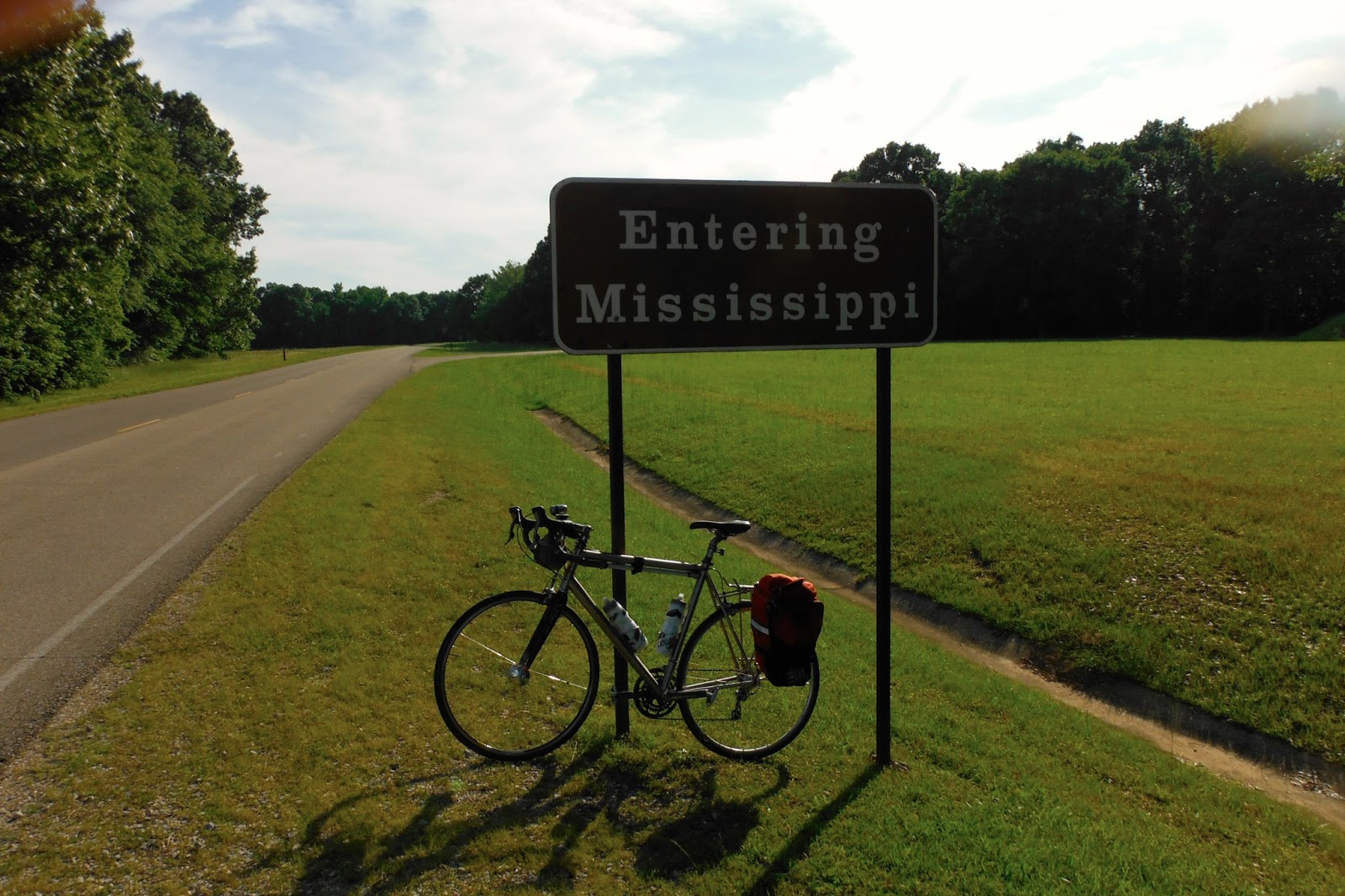
The first state line came ...

... followed by Colbert Ferry to cross the Tennessee River ...

... and a road sign there to let me know it was now single-digits to my evening destination.
I was running low on fluid again when I briefly stopped at the gas station in Cherokee. When I got back on the road there, the sign let me know it was less than 100-kilometers to go for the day.

The rolling hills picked up again around Tishomingo State Park ...

... and on to the Tenn-Tom Waterway.

Just past this, I stopped to put on night-riding gear and lights. Traffic had gotten heavier the closer that I got to Tupelo, with plenty of pick-up trucks pulling boats back from a day at the lake or on the river. The last hour and a half of my ride was pretty much at night, but I got to the hotel just after 9 pm. I had picked up a sandwich and drinks at stores just next door, so I quickly took a shower, ate, and tried to unwind for the night. As usual for these kinds of rides, my sleep was fitful as I tried to turn off my legs. But it was better than nothing.

I was up and on the road about 5 am Sunday morning, passing through the quiet and dark streets of Tupelo and quickly getting back on the Trace. Oddly enough, there were more cars moving about in the pre-dawn gloom -- people hurrying to get back to the lake. Some of them were moving fast, but almost everyone moved over to give me at least three feet when they passed.

The little yellow square at the bottom of the picture above is my headlight. I was using my DynaHub to power bright halogen lights, and also had my E-Werks hooked up to that so that I could charge my cell phone ... which I was really missing by now.

I stopped about 30 miles in at the scenic overlook at Twenty-Mile Bottom. There's a long gradual climb up to this, and you think that the view won't be much.

But it's actually pretty cool ... particularly on a day as lovely as this one was.

As the trip back was about 10 miles shorter and I had left an hour earlier, I decided to take it easier on the way back. Everything was still in good working order, but the miles were beginning to show on me. Since I needed to carry a fresh outfit for the second day -- as well as wanted room for a couple of extra bottles, toiletries, spare tubes, and other stuff -- I had a small pannier on the back of the bike. The extra weight slowed me down a little on some of the climbs, but it also changed the tracking of the bicycle badly enough that I could not ride hands-free. More than anything, this took a toll on my shoulders and back.

I was moving a little slower, and was making a point of stopping every 25-30 miles for brief breaks. At Pharr Mounds, I paused to take a picture of a campsite some bike tourists had (somewhat illegally) set up.

Overnight, a barge had moved up the Tenn-Tom Waterway and was waiting to enter the next lock. You could just hear the boat's generators in the very calm morning air.

I didn't stop for the "century" mile markers ...

... but did for the next state line.

The day was beautiful, with wonderful scenery.

But it was getting boring. Very boring. So boring that you take a picture of mile markers just because they have notable numbers.

At this point, I was really missing my cell phone. Not because it was just a phone, but more because I had downloaded a book to it and had planned to listen to it most of the return trip.
Now, I know that some of you are saying, "Bad RandoBoy! You should never listen to books or music or anything when you are out riding! You do not want to be distracted!"
Yes I did. I very much wanted to be distracted.
If you look back up through the above pictures, you'll realize that it all looks pretty much the same ... and these are the highlights of the ride. This is probably as easy a 600K permanent as there is, but I would recommend anybody riding it either bring along VERY interesting friends, or SOMETHING like an audible book or music to distract you.
Fortunately, I still had music (four little iPod nanos, although I only needed two). But that John Grisham book would have been sooooooooooo much appreciated on Sunday.

I made it through Alabama and back into Tennessee, stopping again in Collinwood. On the way down, I had skipped the sandwich and sweets place in town, but opted to treat myself on the way up. It was definitely worth the extra half-hour, as the owner was super-nice and the food excellent. They also have some of the best chocolate that I've ever eaten. Although I'm usually comfortable for long stretches by myself, it was great to sit and talk to the folks there for a bit.
After a brief stop again at the convenience store for ice and drinks, I was back on my way. The restaurant at Falls Hollow Campground wasn't open when I got there, but the lady came out when I pulled into the parking lot to ask if I needed anything. I told her I was just going to buy some ice and drink, and she immediately let me in, filled my bottles with ice and water, and offered me some leftover biscuits from that morning's breakfast.
I love people like this.

After the long climb up from the Swan River Valley, the rolling hills become a little steeper. Soon, I passed another "century" mark, and paused again at the Baker Bluff overlook.

From here, the route is the same-old-same-old for me.
If you do this permanent, pick a weekend like I did: Highs in the mid-80s, wind out of the north on the first day and changing to come out of the south for the return, no chance of rain. A small pannier will carry all that you need, but make sure that you have a couple of spare bottles in that pannier as well. Hot food is rare, so you'll need to survive on candy bars and other convenience store fare.
To keep from burning out, stop regularly. With almost 190 miles between the last two controls, you can't just do what we usually do on brevets and hammer until it's time for somebody to sign the card. Read the road signs. Wave at the motorcyclists. Stop and admire a creek.
Have fun!


